Return to site This is the Netherlands mapped by its canals, streams, rivers, lakes and ponds … all 1.2 million of them
And some VanderSat soil moisture to top it off
March 22, 2018
H
H
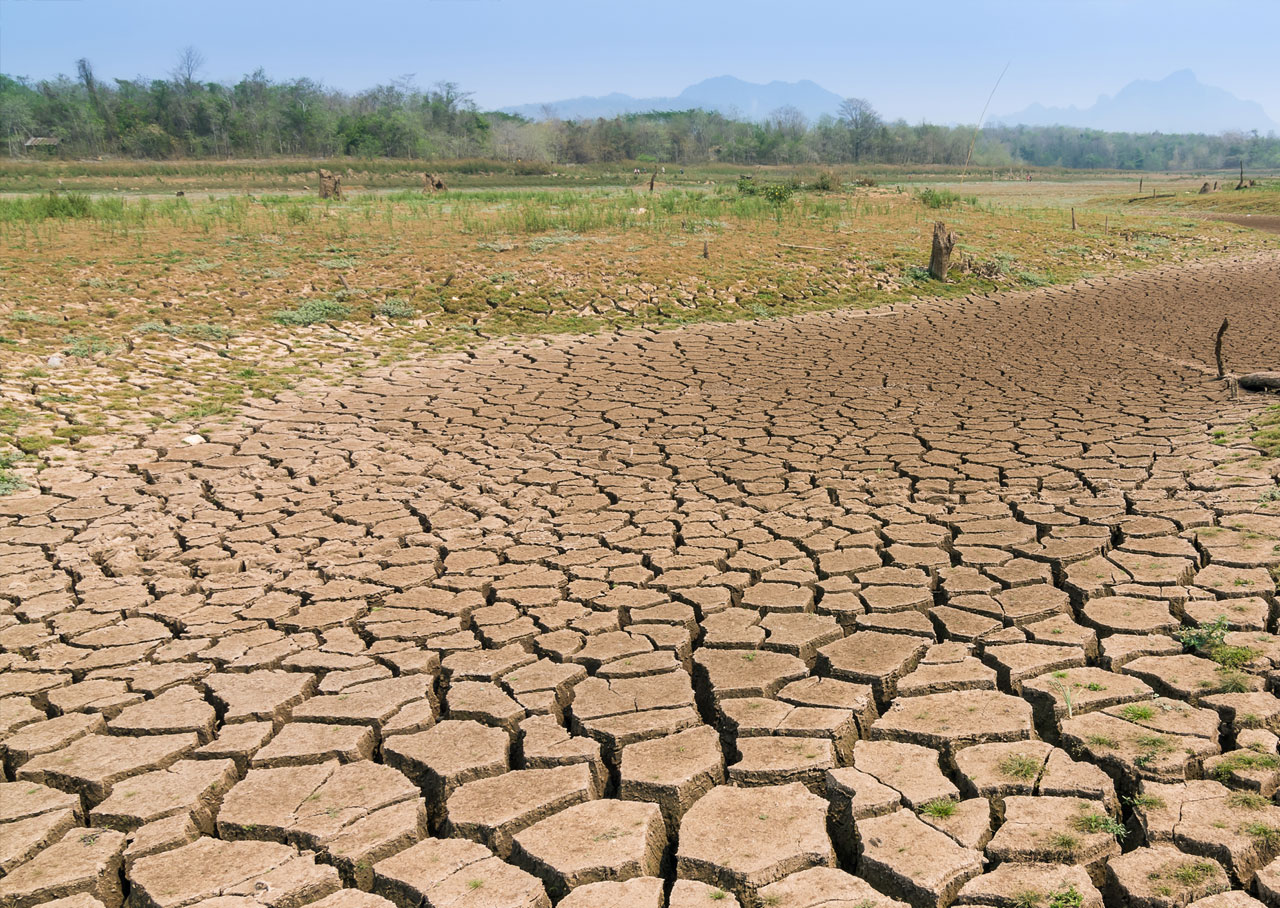
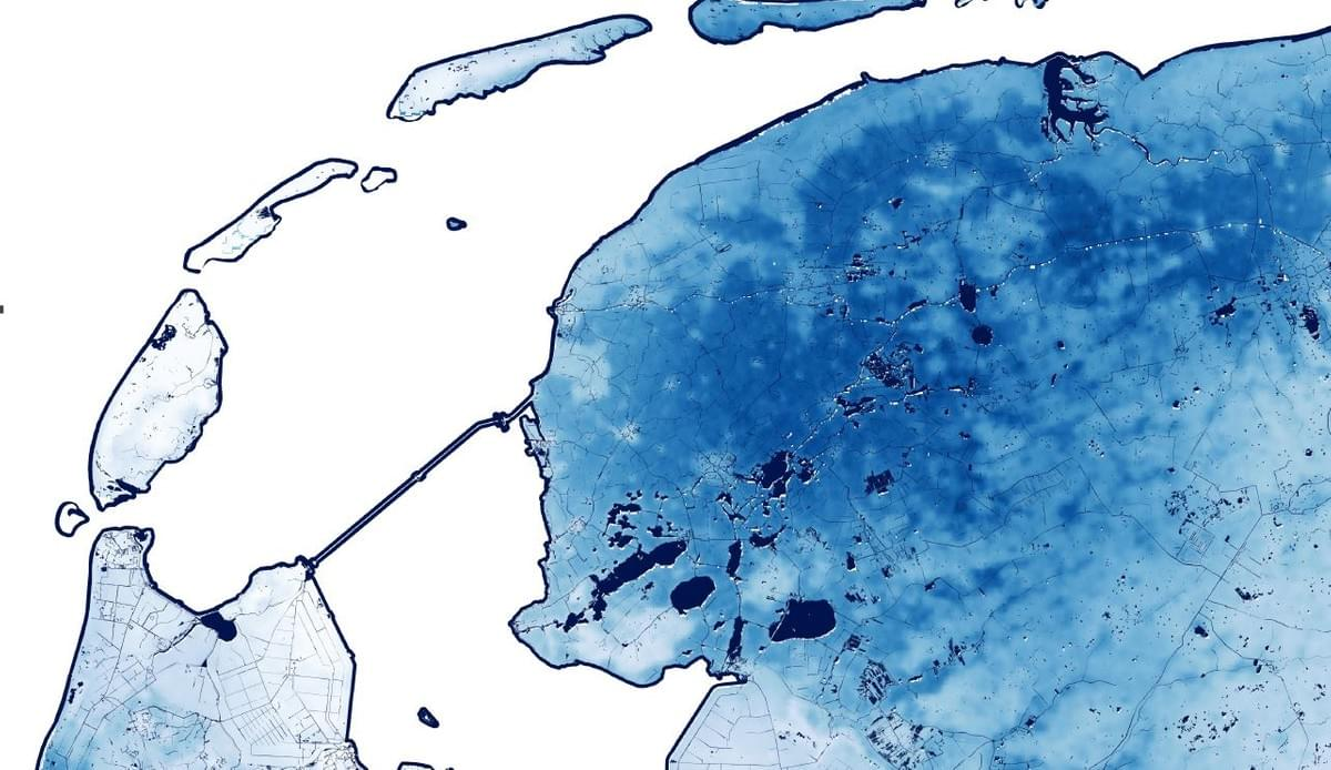
appy world water day. A picture says more than a thousand words and sometimes a little outside perspective helps you better understand your own situation. That outside perspective came from a reddit post last year where a redditor from Australia took some Dutch maps and awed the world with his map of canals, streams, rivers, lakes and ponds in The Netherlands. The Netherlands contains over 70,000 km of watercourses alone. Next to that 26% of the Netherlands is actually below sea level and it’s probably one of the most geoengineered areas in the world.
People know that the Dutch have a special relationship with water and these maps show you why.
You can download the wallpaper (9mb) here.
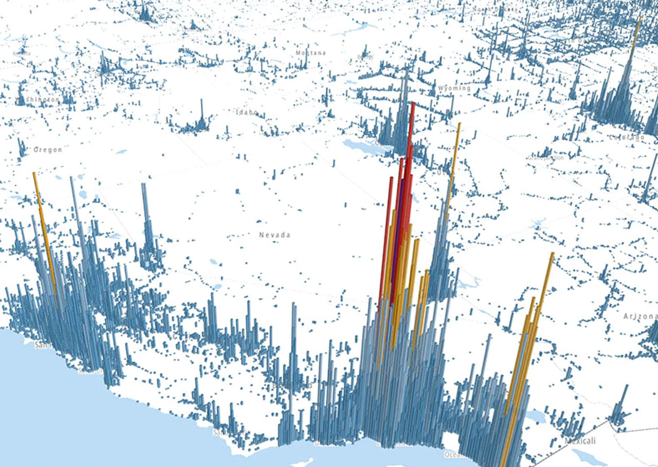
Below you see the randstad area and it’s waterways and average soil moisture