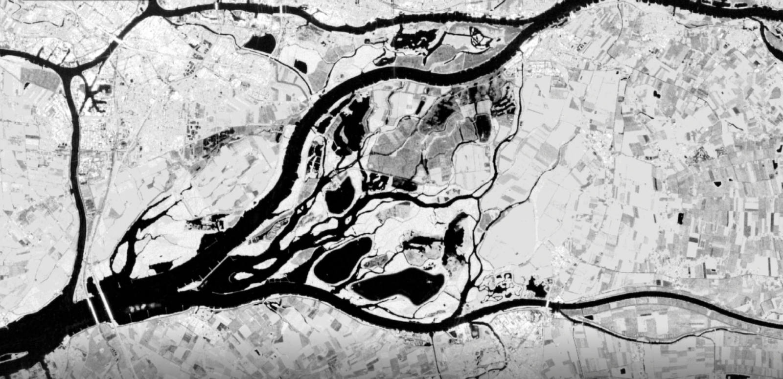
n May 22 the southern part of the Netherlands was hit hard by big thunderstorms and heavy rainfall, resulting in several local flooding events. Unfortunately, the impact of these events is often difficult to estimate. What is for example the damage on the total infrastructure? How long will the flooding last, and what is the impact on the environment? These questions are difficult to address, but with the detailed water information we obtain from satellites we are now in a position to answer these questions within a very short period after the event has happened.
Below you see two soil moisture maps of the southern province of the Netherlands (Limburg) as observed by satellites on two consecutive days; One on Tuesday morning May 22, just before the rainstorms and one right after on Wednesday morning May 23.
With these observations we can quantify the water excess and monitor the drainage afterwards. With this information water authorities and municipalities can manage their regional water system with much more accuracy and can take action when needed. This is also why several water authorities started to use this new earth observation service within their management program.


