Drought Index Insurance using satellites: Now mature and growing fast in 2020

March 24, 2020
F
F

ood security remains of key importance, especially in these tough times. Drought Index insurance based on satellite observations is a component that can assist in improving this.

Drought index insurance had already a rapid uptake in 2019. For the Northern Hemisphere the growing season is about to start in April 2020, creating an opportunity for brokers, as well as insurance and reinsurance firms, to offer this new insurance service to their clients. Index insurance has a number of significant benefits compared to traditional agricultural insurance:

Drought index insurance is now mature. In 2019 farmers in 6 countries on 3 continents have insured their crops against drought, while in 2020 another 8 countries are planned to start this service. For the first time ever countries such as Cambodia, Russia, Ukraine, Latvia, France, and Kenya are using the latest technology available.


Case: the opportunity for Drought Index insurance in Europe


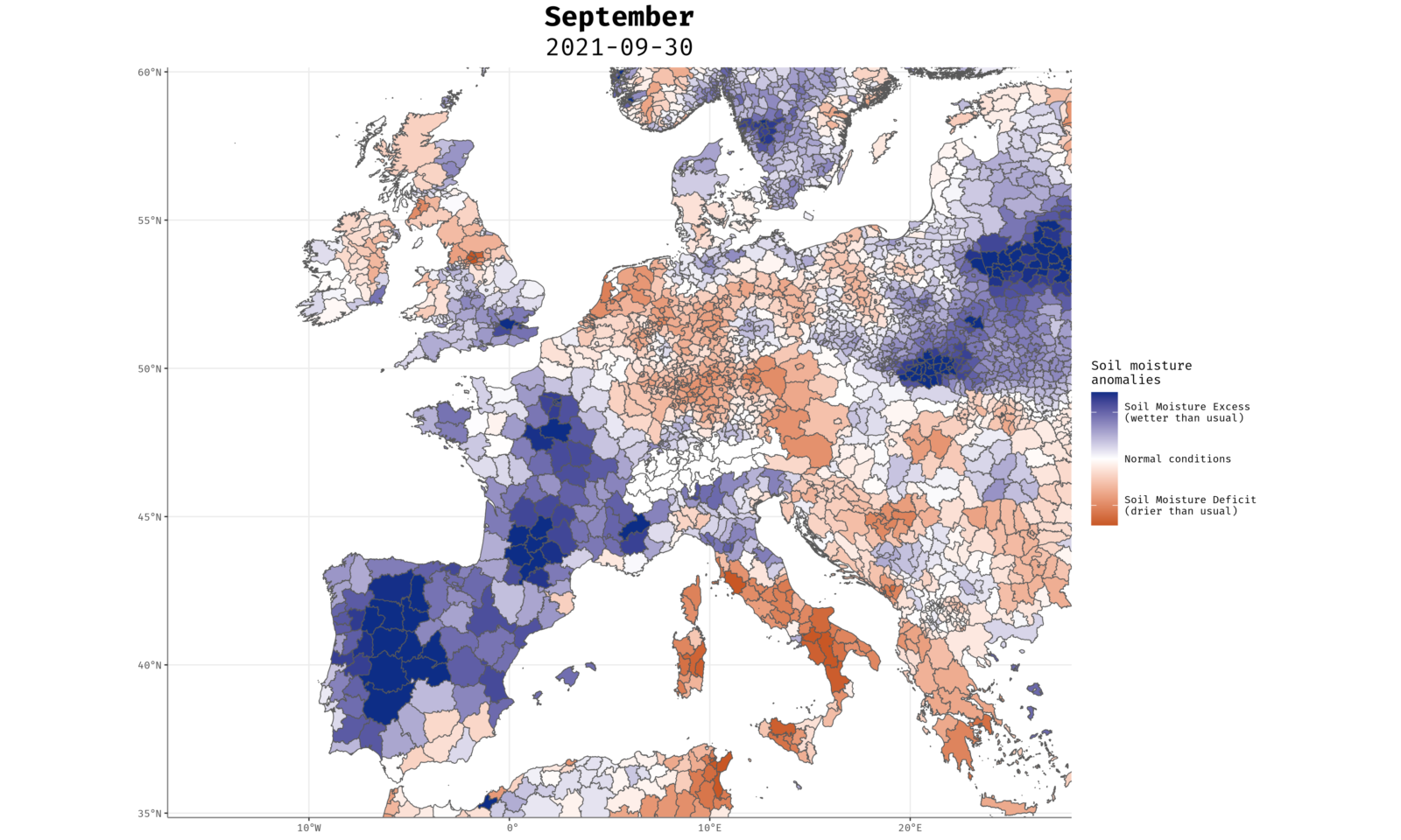
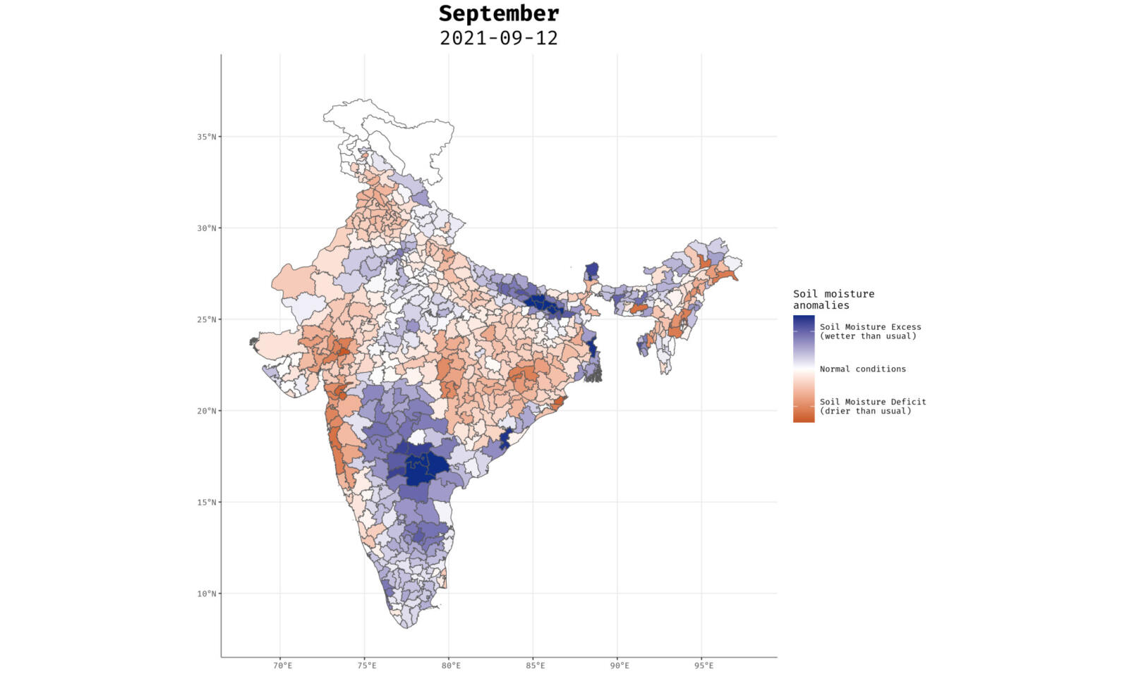
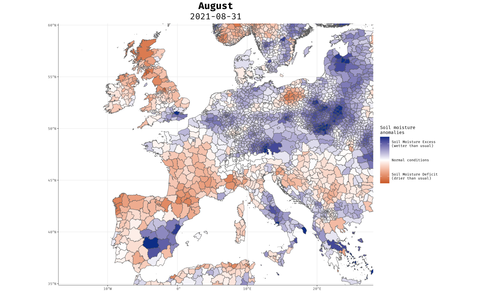
Drought has been hitting farmers in Europe hard over the past years. Again 2019 proved to be a challenging year. The satellite map of drought below shows the hardest hit areas. Farmers in the center of France, parts of Ukraine, Russia, and Latvia that were hit by a severe drought received full or partial payout via their brokers and insurance agencies.

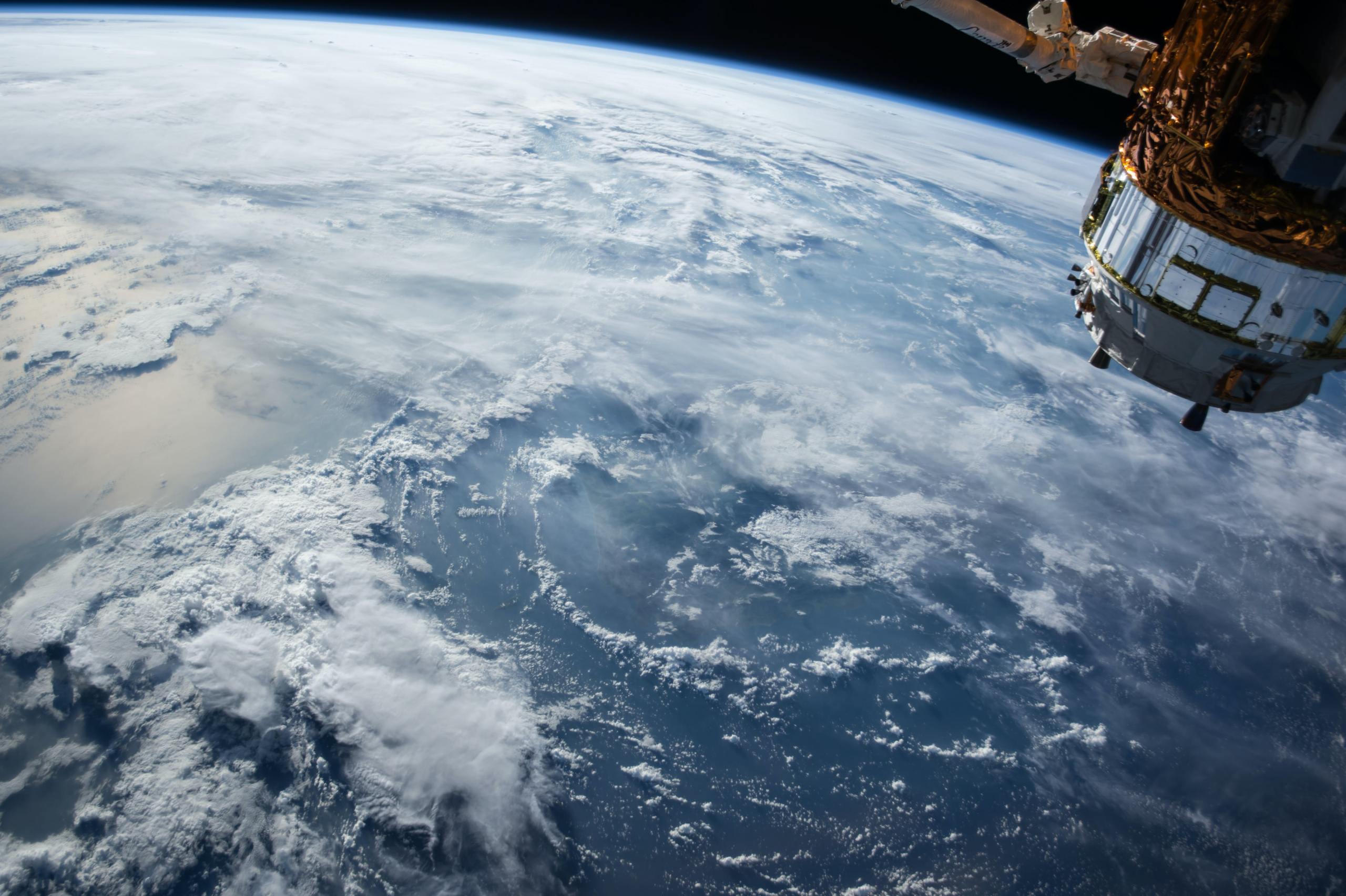
Satellites monitor these lands on a daily basis, gathering information that is then processed by the Dutch company VanderSat. VanderSat is an independent provider of data and delivers measurements on a daily or weekly basis to insurers, brokers, and agents who then communicate this to their clients: farmers and farmer cooperatives.

Like to learn more?

Contact your broker or (re)insurance agent, or contact Berend

Berend de Jong MSc
Director of Insurance & Bankingberenddejong@vandersat.com

Related articles