A scientist’s tribute. Building on the Legacy of NIMBUS-7

By Dr. Richard de Jeu

November 25, 2020

W
W

ithin the Earth observation industry there is a strong tendency to focus on new missions and new technologies. However, sometimes it is also important to look back and see what satellites have done in the past for our society. Some of them are now almost forgotten, but actually played a crucial role in shaping the current Earth observation industry.

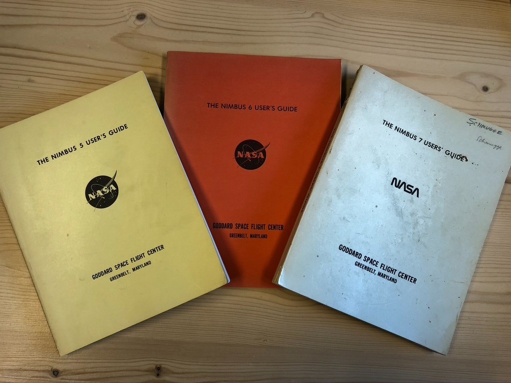
The satellite we would like to highlight here is the NIMBUS-7 pathfinder. This historical satellite was the last in a series of the NIMBUS program of NASA which started in the sixties. The aim of the program was to test new instrument concepts and to provide data for weather and climate research. NIMBUS-7 was a big satellite platform with nine different instruments. The satellite was launched in 1978 and was operational for more than 15 years.

At the time of operation, the mission was considered as highly revolutionary because it was one of the first stable Earth observation platforms out there with a strong emphasis to monitor our environment with meticulous detail.  With NIMBUS-7, the ozone hole in the stratosphere was mapped, which resulted in a worldwide ban for CFCs in 1989. Besides the ozone hole, NIMBUS-7 also made it possible to monitor our polar ice caps and to determine the pollution of the oceans. This information is still used as one of the benchmark datasets by numerous climate researchers.

NIMBUS-7

Unfortunately, the full capabilities of NIMBUS-7 were not picked up immediately. Which is also one of the reasons why this satellite and its legacy is somehow forgotten.

Back in the seventies and eighties the computing facilities were still limited and people were often only able to analyze small chunks of the data. The satellite data was stored on magnetic tapes and it was a labor intensive and complicated task to extract and analyse these datasets with the available computing power. Therefore, it sometimes took many years before people started to discover the full potential of a satellite mission. For example, the first full global soil moisture product as derived from one of the sensors of NIMBUS-7 was released in 2003, years after the decommission of the satellite.

The NIMBUS program in general was also an excellent starting point for many more famous future missions. Their new instrument concepts laid the foundations for new missions. For example, the LANDSAT Series, but also the MODIS satellites would probably not exist without the NIMBUS program.

For us at VanderSat we consider NIMBUS-7 to be our godfather Earth observation satellite. The passive microwave radiometer on this satellite made it possible to develop the algorithms for our building blocks: soil moisture, vegetation optical depth, land surface temperature and coming very soon, daily biomass. Obviously,  the quality and resolution of new satellite technologies changed dramatically over time, but because of this satellite which floated around 40 years ago, we were able to design the right retrieval methodologies which are now used worldwide. Heck, we even own copies of the original user guides (one signed by one of the pioneers in microwave remote sensing; Tom Schmugge).

All of the above makes NIMBUS-7 a truly revolutionary satellite. It is the reason why we gave it a prominent position in our branding. You can find it on the VanderSat website, business cards, presentations and our tailor made onesies. You may call it a tribute.

In case you also have fond memories of Nimbus 7...

…you know how to reach me

Dr. Richard de Jeu
founder & CTO
+31 233 87 878 rdejeu@vandersat.com

Related articles